|
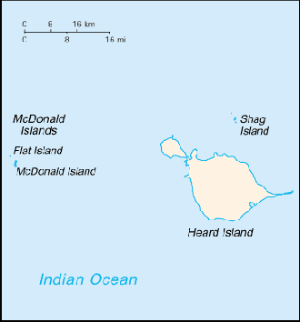
Heard Island and McDonald Islands
Background:
These uninhabited, barren, sub-Antarctic islands were transferred from the UK
to Australia in 1947. Populated by large numbers of seal and bird species, the
islands have been designated a nature preserve.
Location:
Location: Islands in the Indian Ocean, about two-thirds of the way from
Madagascar to Antarctica.
Area: total: 412 sq km.
Area - comparative: Slightly more than two times the size of Washington, DC.
Coastline: 101.9 km.
Climate and Terrain:
Climate: Antarctic.
Terrain: Heard Island - 80% ice-covered, bleak and mountainous, dominated by a
large massif (Big Ben) and an active volcano (Mawson Peak); McDonald Islands -
small and rocky.
Natural resources: Fish.
Natural hazards: Mawson Peak, an active volcano, is on Heard Island.
People:
Population: Uninhabited, (July 2003 est.).
Government:
Dependency status: Territory of Australia; administered from Canberra by the
Australian Antarctic Division of the Department of the Environment and
Heritage.
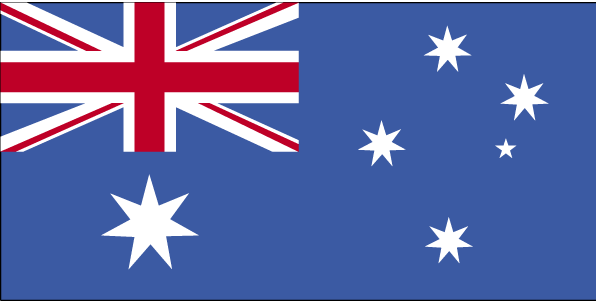
Flag description: The flag of Australia is used
Economy overview:
No indigenous economic activity, but the Australian
Government allows limited fishing around the islands.
Statistics:
Internet country code: .hm
Ports and harbors: None; offshore anchorage only.
Return to Visiting Locations
|

