|
Umpqua Lighthouse State Park
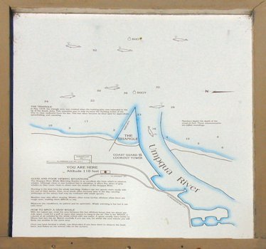
4. Area Map At the viewing area a map of the area can be viewed to explain the area and the unusual jetty. In the early 19th century the river valley was largely inhabited by the Coquille tribe of Native Americans. The tribe ceded most of its land to the U.S. government in the 1854 Kalapuya Treaty, agreeing to move to a reservation in Lincoln County as part of the Confederated Tribes of Siletz. The river itself is named for the Umpqua, a band of the Coquille. ⇦ Back to Page 3 On to Page 5 ⇨Hi-Res Pic (158K) Return to Umpqua Lighthouse |
| Map of the Area and information |